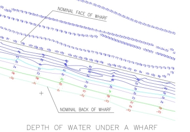
Under Wharf Mapping
We have created a device that allows the sea floor to be mapped underneath a wharf.
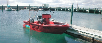
The under wharf mapping technique utilises Transducer raft to acquire the data and is positioned by a calibrated pole from a known position of the wharf.
This method of mapping can be adapted to produce detailed depth maps below matypes of marine structures.