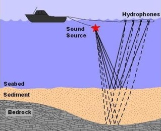
Seismic Survey
Also known as sub-bottom profiling, seismic surveying is a marine seismic reflection technique that enables visualisation and measurement of the geological structure below the seafloor. With this method, one can accurately measure the distances between layers or features below the seafloor.
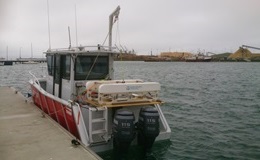
These sub-bottom profiling systems usually require a vessel more than 6 m in length, some cover from weather and a 3 - 8 kVA generator. RedMap II is perfectly set up for such jobs.